GPS Fishfinder Combos
Our GPS fishfinder combos are innovative devices that combine the power of GPS navigation with cutting-edge fishfinding technology, providing you with all the tools you need to locate and reel in your next big catch. Whether you're a seasoned angler or just starting out, our selection of GPS fishfinder combos offers a range of features and functionalities to suit every fishing style and preference. With their intuitive interfaces and high-resolution displays, these devices make it easier than ever to explore new fishing spots, identify underwater structures, and track fish activity in real-time. Enhance your fishing experience and maximize your success on the water with our top-quality GPS fishfinder combos.
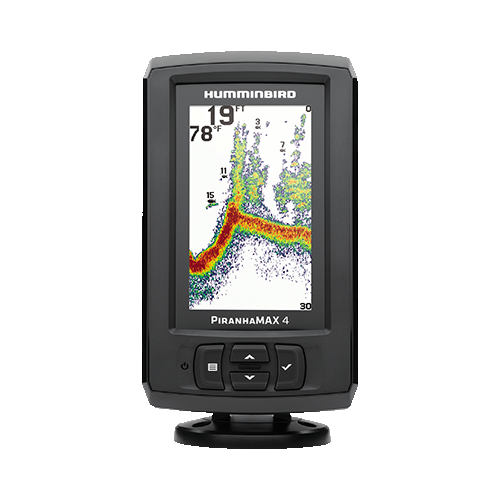


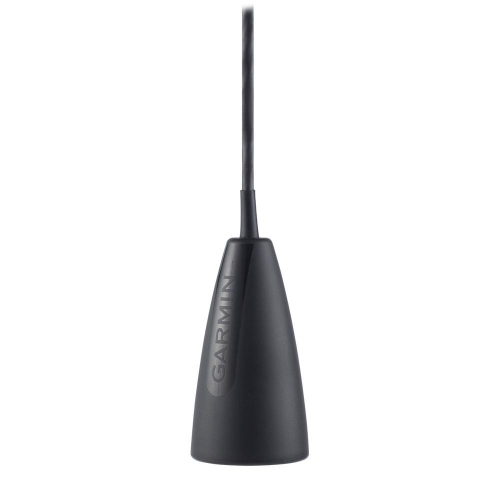
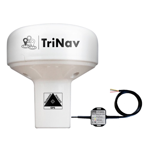
Underwater detail meets fishing spots worth revisiting
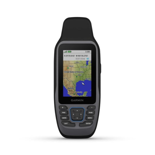
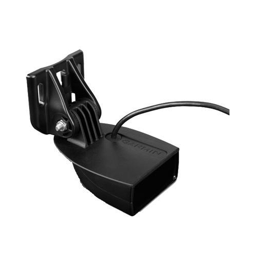
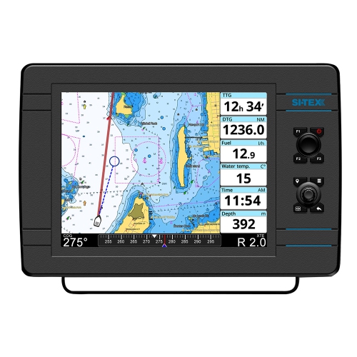
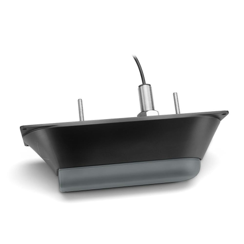
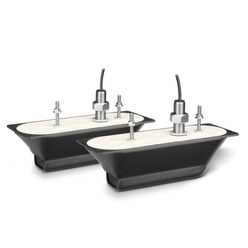
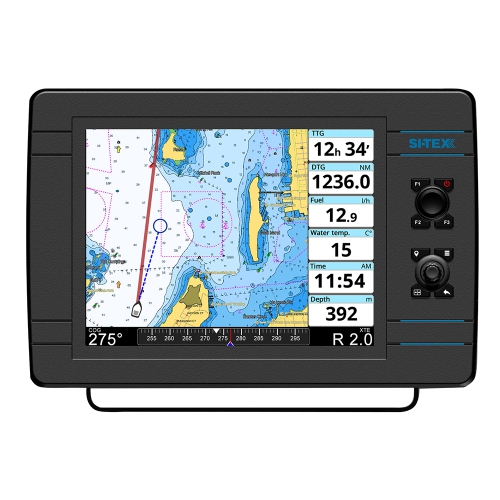
The most suitable display size and control layout depend on where the unit will sit and how it will be used. A compact screen can fit neatly beside a kayak seat or on a small boat console, while a larger display makes it easier to read charts and sonar side by side from farther away. Resolution matters as well as size, particularly when several views share the screen and small details need to remain legible. Adjustable brightness and a screen that remains readable through polarized sunglasses can make a meaningful difference during long sessions on the water. Touch controls offer direct access to chart locations and menus, while physical buttons can be easier to operate with wet hands or when the boat is moving. A combination of both may suit anglers who switch frequently between mapping and sonar. Mounting space should account for the bracket, cable connections, screen tilt, and clearance around steering or other controls, not just the dimensions of the display itself. At the bow, a unit needs to be visible from the fishing position without obstructing movement; on a kayak, it should stay clear of paddle strokes and remain reachable from the seat. Transducer compatibility is equally important because the display alone does not determine which sonar views are possible. Supported frequencies, scanning functions, mounting methods, and included components differ among packages. A transom-mounted transducer needs appropriate placement in clean water flow, away from sources of turbulence that can interfere with readings. Through-hull and in-hull arrangements have their own installation requirements, including hull-material restrictions for some setups. Anglers interested in Garmin Echomap can apply these same considerations when comparing chartplotting capabilities, screen layouts, and compatible sonar equipment. The important match is between the electronics, the vessel, and the way someone fishes, whether that means watching depth along a trolling route or studying a single piece of structure.
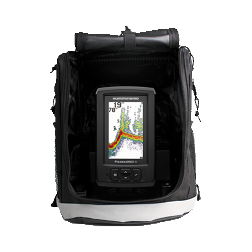
Durability and day-to-day care matter because fishing electronics share space with spray, tackle, moving gear, and repeated handling. Marine housings, secure brackets, and properly sealed connections help protect the equipment, but water-resistance ratings have specific limits and should not be treated as permission for unrestricted submersion. Housing and bracket materials also influence weight and resistance to corrosion, especially for equipment used in salt water. Protective covers can reduce scratches during transport, and a removable mount allows the display to be stored securely when the boat is unattended. Care generally includes removing salt and residue as directed by the manufacturer, wiping the screen with a soft cloth, and avoiding abrasive cleaners that could damage its coating. Cables need enough slack for adjustment without dangling where they can snag, and connectors should be kept clean, dry before connection, and protected when disconnected. Power requirements deserve the same attention as screen and sonar features. Supply voltage, current draw, appropriate fusing, and battery capacity all affect installation and running time; a portable setup needs a compatible battery and a secure way to carry it. Larger displays and connected accessories may increase power demand, so battery planning should reflect the complete system rather than the main unit alone. Depending on the model, useful extras may include waypoint sharing, route storage, custom contour mapping, memory-card support, or connections to other compatible marine equipment. These capabilities can help experienced anglers organize repeated trips, while straightforward menus and clear depth readings may matter more to someone learning to use sonar. For a gift, knowing the recipient’s boat layout, existing transducer, and preferred fishing waters is more useful than choosing by screen size alone. A kayak angler carrying equipment to a launch has different needs from someone with a permanently wired console. Whatever the setup, electronic charts and depth readings support on-water decisions rather than replace lookout, navigation skills, or attention to changing water levels and hazards. A well-matched GPS fishfinder combo makes it easier to build a practical picture of a fishing area, connecting depth and structure with routes, saved locations, and observations gathered over time.
Top selling and popular products
-
 Your price for this item is $236.02
 -
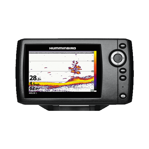 Your price for this item is $411.48
 -
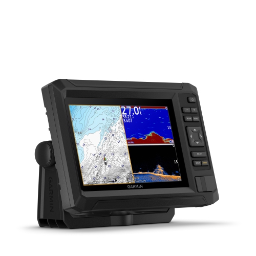 Your price for this item is $959.99
 -
 Your price for this item is $1099
 -
 Your price for this item is $124.56
 -
 Your price for this item is $92.98
 -
 Your price for this item is $1064.26
 -
 Your price for this item is $41.58