Drones for Surveying and Mapping Projects
Drones for surveying and mapping projects offer efficient solutions for capturing aerial data and creating detailed site maps. These advanced tools are designed to support a variety of applications, from land development and construction planning to environmental monitoring. With drones for surveying and mapping projects, professionals can streamline workflows, improve accuracy, and enhance project outcomes. Explore a range of options to find the right fit for your specific surveying and mapping needs.
Sort
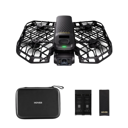
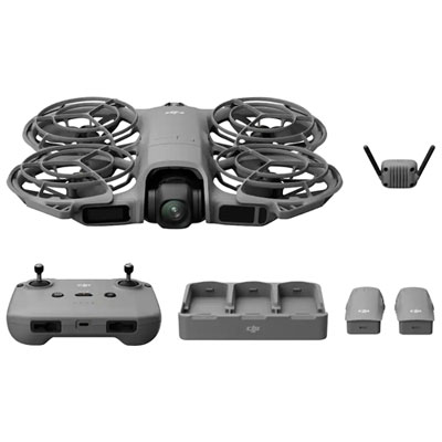
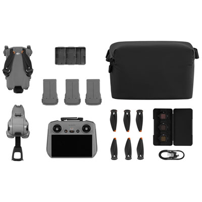
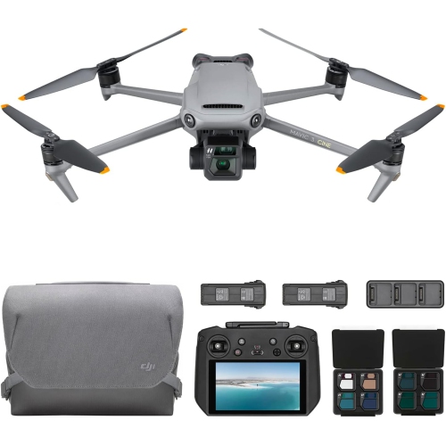
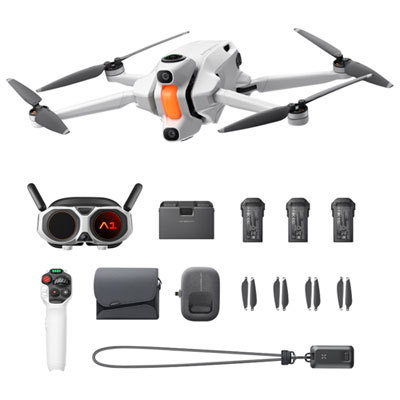
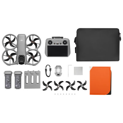

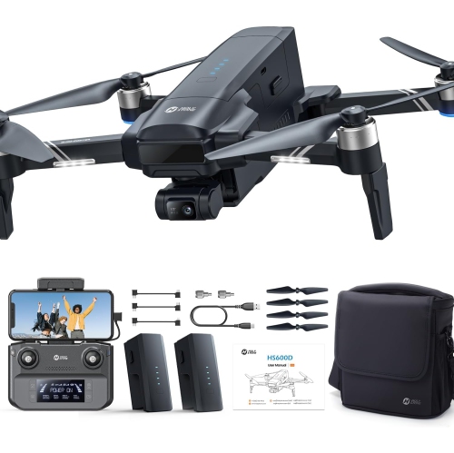
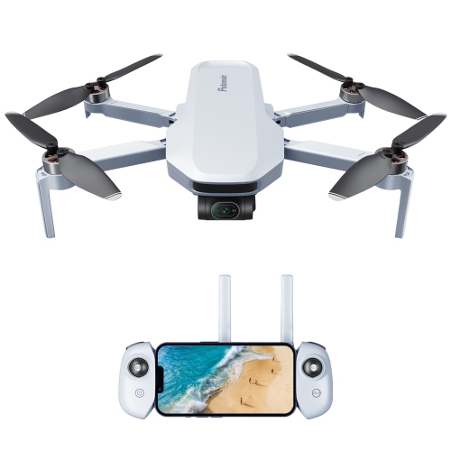
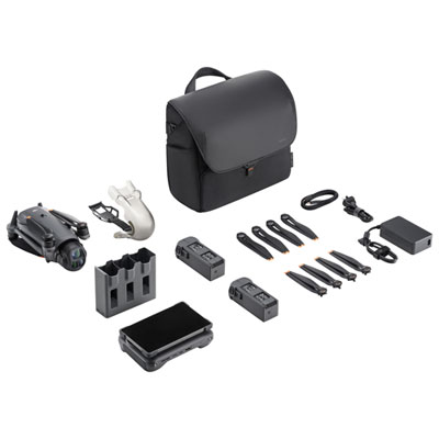
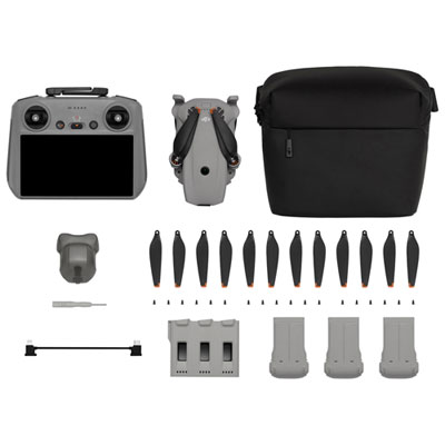
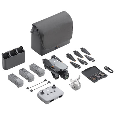
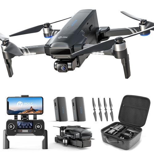
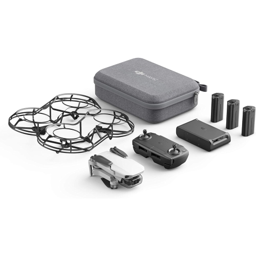

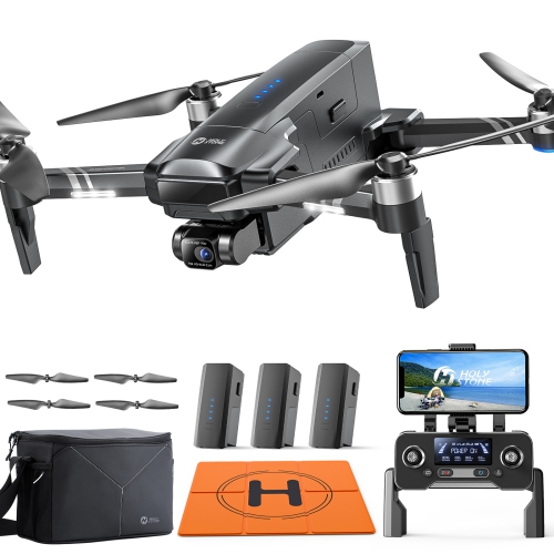
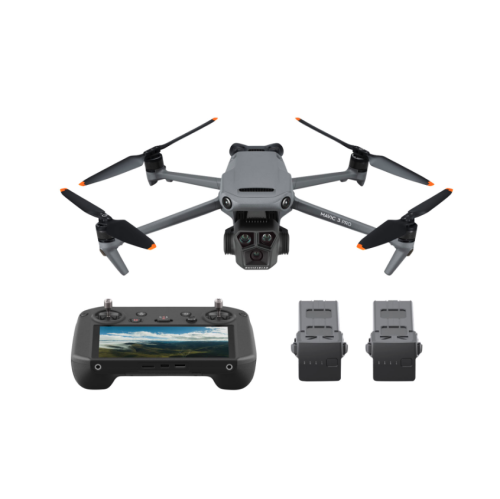
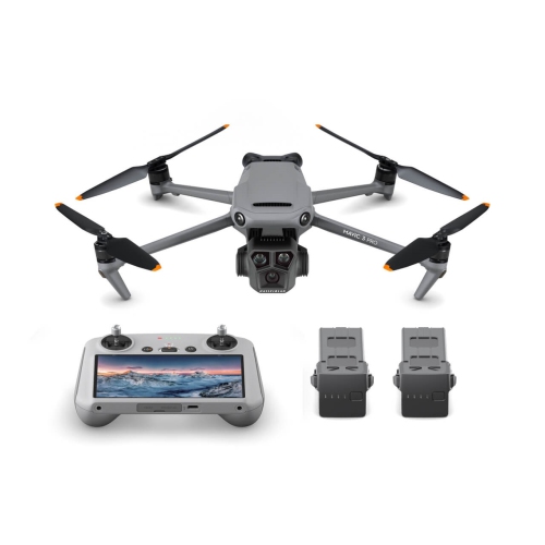

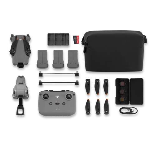
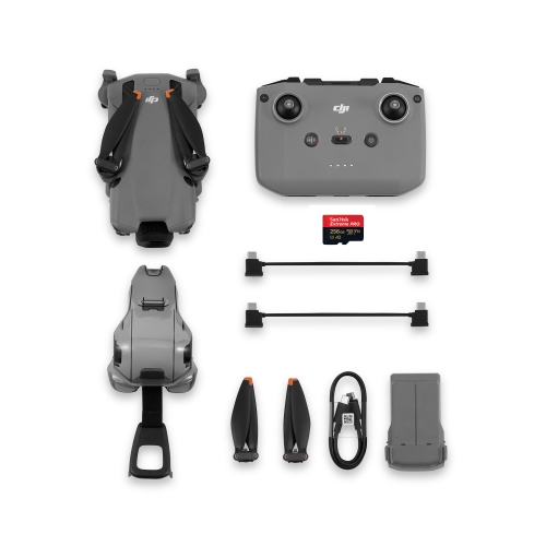
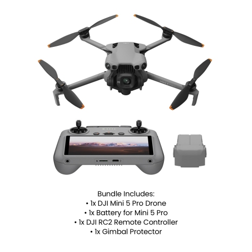
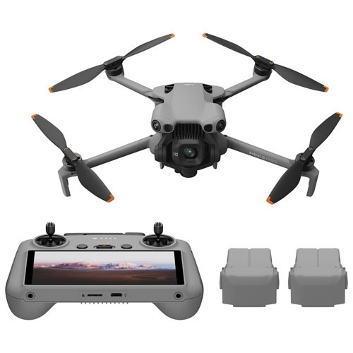
Accurate aerial data for projects across diverse landscapes
Drones for surveying and mapping projects have transformed how professionals and enthusiasts alike approach land assessment, infrastructure planning, and resource management. As the weather shifts from the warmth of summer into the cooler days of fall, the Canadian landscape reveals a unique tapestry of colours and terrain, making this period ideal for aerial data collection. Whether you are a land surveyor charting new subdivisions, an environmental scientist mapping wetlands, or an engineer planning roadways, drones equipped for surveying and mapping offer a powerful combination of efficiency, accuracy, and accessibility. These drones are designed to capture high-resolution imagery and precise geospatial data, often featuring advanced GPS modules, stabilized cameras, and extended flight times to cover expansive areas in a single session. With automated flight paths and real-time data transmission, users can quickly gather the information needed for topographic maps, volumetric calculations, and 3D models, streamlining workflows that once took days or even weeks to complete.
Selecting the right drone for surveying and mapping involves considering several key factors. Flight time and battery life are critical, especially when covering remote or rugged terrain where quick returns for battery swaps aren't always practical. Payload capacity matters if you need to attach specialized sensors such as LiDAR, multispectral, or thermal cameras, which can reveal hidden features beneath dense foliage or provide detailed elevation profiles. Ease of use is another important aspect, as some drones offer intuitive controls and automated mission planning, making them accessible even to those new to drone technology. For experienced professionals, advanced customization options and compatibility with industry-standard mapping software can be essential. Drones in this category are not only valuable tools for businesses and government agencies but can also make thoughtful gifts for university students studying geography, civil engineering, or environmental science, as well as for hobbyists passionate about cartography or nature exploration. Imagine gifting a loved one the ability to document family property, create detailed maps of hiking trails, or contribute to community projects—all from a bird’s-eye view.
As the seasons change and outdoor projects continue, the reliability and flexibility of surveying drones make them indispensable for a wide range of applications. From monitoring crop health on sprawling farms to tracking erosion along winding rivers, these drones help users make informed decisions based on accurate, up-to-date data. For those whose work overlaps with construction or infrastructure development, you may also be interested in exploring specialized options available on our Drones For Construction Site Monitoring page. Whether you’re expanding your professional toolkit or seeking a unique and practical gift, investing in a drone purpose-built for surveying and mapping opens up new possibilities for discovery, analysis, and creative problem-solving across Canada’s diverse landscapes.
Selecting the right drone for surveying and mapping involves considering several key factors. Flight time and battery life are critical, especially when covering remote or rugged terrain where quick returns for battery swaps aren't always practical. Payload capacity matters if you need to attach specialized sensors such as LiDAR, multispectral, or thermal cameras, which can reveal hidden features beneath dense foliage or provide detailed elevation profiles. Ease of use is another important aspect, as some drones offer intuitive controls and automated mission planning, making them accessible even to those new to drone technology. For experienced professionals, advanced customization options and compatibility with industry-standard mapping software can be essential. Drones in this category are not only valuable tools for businesses and government agencies but can also make thoughtful gifts for university students studying geography, civil engineering, or environmental science, as well as for hobbyists passionate about cartography or nature exploration. Imagine gifting a loved one the ability to document family property, create detailed maps of hiking trails, or contribute to community projects—all from a bird’s-eye view.
As the seasons change and outdoor projects continue, the reliability and flexibility of surveying drones make them indispensable for a wide range of applications. From monitoring crop health on sprawling farms to tracking erosion along winding rivers, these drones help users make informed decisions based on accurate, up-to-date data. For those whose work overlaps with construction or infrastructure development, you may also be interested in exploring specialized options available on our Drones For Construction Site Monitoring page. Whether you’re expanding your professional toolkit or seeking a unique and practical gift, investing in a drone purpose-built for surveying and mapping opens up new possibilities for discovery, analysis, and creative problem-solving across Canada’s diverse landscapes.
Top selling and popular products
-
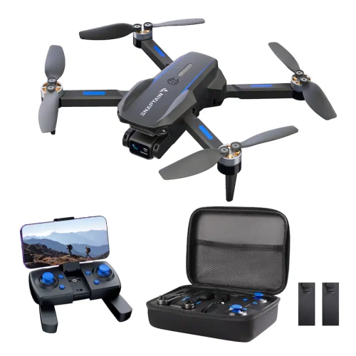 Your price for this item is $109.98
 -
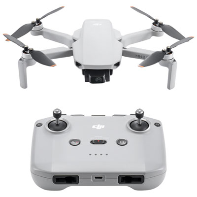 Your price for this item is $359.99
 -
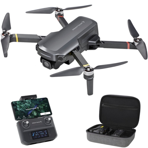 Your price for this item is $279.9
 -
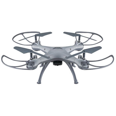 Your price for this item is $49.99
 -
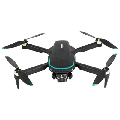 Your price for this item is $79.99
 -
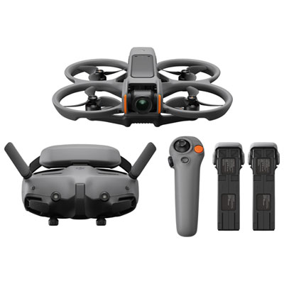 Your price for this item is $1279.99
 -
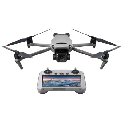 Your price for this item is $1759.99
 -
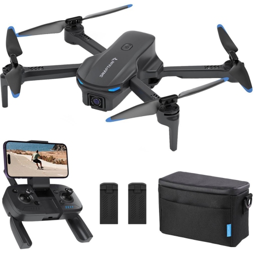 Your price for this item is $189.9
Discover more categories related to Drones for Surveying and Mapping Projects
Top Collections:
Pokemon Centers, Kindle Devices, Best Budget Office Chairs, Apple iPhones 16, Best Laptops for Writers, iPhone 15 Apple, Canon G7X Cameras, Refurbished Apple Laptops, Alarm Clock, Motorola Razr Phones
Some products may be subject to Environmental Handling Fees
(EHF) depending on your province.
Learn more about EHFs.