Drones for Surveying
When it comes to surveying, drones have revolutionized the way professionals gather data and capture aerial imagery. These versatile devices offer a unique perspective, allowing for more accurate and efficient surveying processes. Whether you're a land surveyor, construction professional, or environmental scientist, having the right drone can greatly enhance your workflow and deliver precise results. With a wide range of features and capabilities available, finding the perfect drone for surveying can be a daunting task.
Sort
Drones For Surveying
Drones for surveying have become essential tools for professionals and enthusiasts who need accurate, efficient, and detailed data from above. Whether you’re managing a construction site, mapping agricultural land, or inspecting infrastructure, surveying drones offer a level of precision and convenience that’s hard to match. These devices are equipped with advanced GPS, high-resolution cameras, and specialized sensors that capture comprehensive aerial imagery and data, streamlining tasks that once required hours or even days of manual labour. During the summer months, when daylight stretches long and the weather is optimal, surveyors and project managers can take full advantage of these drones’ capabilities, covering large areas quickly and with minimal disruption to the landscape. The ability to access hard-to-reach places—such as dense forests, rugged terrain, or tall structures—makes surveying drones invaluable for a wide range of industries, including construction, mining, forestry, and land development. For those working on tight deadlines or in remote locations, the portability and reliability of modern surveying drones can make all the difference, allowing teams to capture critical data on-site and make informed decisions without delay.
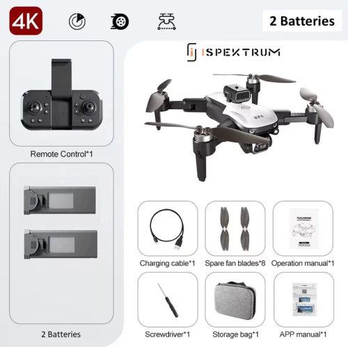
Selecting the right drone for surveying involves careful consideration of several key features. Flight time is a major factor, as longer battery life means more ground can be covered in a single session, reducing the need for frequent landings and battery changes. Camera quality is equally important—look for drones with high-resolution imaging and options for thermal or multispectral sensors if your work demands it. Stability and range are crucial, especially when operating in windy conditions or over expansive areas. Many surveying drones come with advanced autonomous flight modes, enabling them to follow pre-programmed routes and maintain consistent altitude and speed, which is vital for generating accurate maps and models. Storage capacity, ease of data transfer, and compatibility with mapping software are also worth noting, as these can significantly impact workflow efficiency. While these drones are primarily designed for professional use, they can also make thoughtful gifts for students and hobbyists interested in geography, engineering, or photography—imagine the excitement of capturing panoramic views of the Canadian landscape or assisting with local community projects using cutting-edge technology.
Beyond the worksite, surveying drones are finding their place in recreational and travel settings, as more people discover the thrill of exploring new perspectives from the sky. Summer is the perfect season to venture outdoors and experiment with aerial photography or videography, capturing everything from sprawling farmland to urban skylines. If you’re interested in expanding your horizons, consider exploring options in Drones For Travel, where you’ll find models designed for portability and adventure. Whether you’re a seasoned professional looking to upgrade your equipment or someone seeking a unique gift for a tech-savvy friend or family member, the world of surveying drones offers something for everyone. With the right drone in hand, you’re equipped to tackle complex projects, document breathtaking vistas, and unlock new opportunities—all from an elevated vantage point.
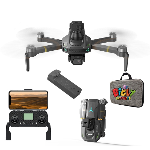
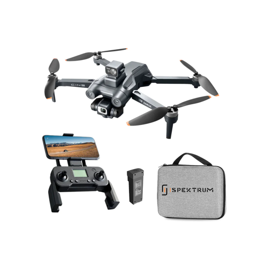
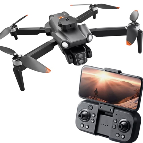
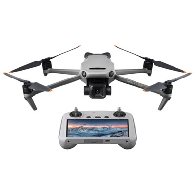
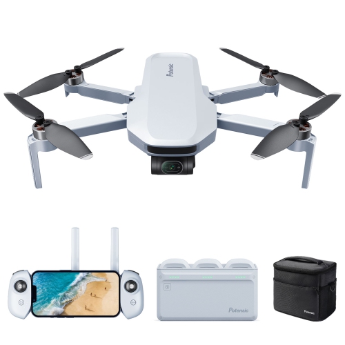
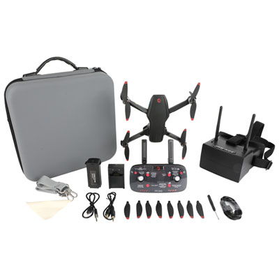
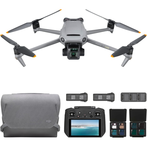
Top Picks For Drones For Surveying
Top selling and popular products
-
 Your price for this item is $689.99
 -
 Your price for this item is $98.9
 -
 Your price for this item is $359.99
 -
 Your price for this item is $279.9
 -
 Your price for this item is $64.99
 -
 Your price for this item is $89.99
 -
 Your price for this item is $1279.99
 -
 Your price for this item is $1759.99
Discover more categories related to Drones for Surveying
Top Collections:
RAM Upgrades for PC, Best Laptops for Home Use, Best Vacuum Cleaners, Top Laptops for University Students, Kindle Devices, Best Cell Phones Under $500, Best Type C Hub, Best Quality Doorbell Cameras, Koodo Smartphones, Apple iPhones 16
Some products may be subject to Environmental Handling Fees
(EHF) depending on your province.
Learn more about EHFs.