Boat Navigation Systems
Enhance your boating experience with our selection of top-notch boat navigation systems. Whether you're a seasoned sailor or just starting your nautical adventures, these cutting-edge devices are designed to provide accurate and reliable navigation information to keep you on course. From GPS chartplotters to fishfinders and radar systems, our range of boat navigation systems offers advanced features and intuitive interfaces that make navigating the open waters a breeze. Explore our collection today and equip your vessel with the latest technology to ensure smooth sailing every time.
Sort


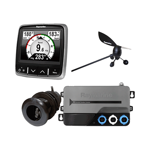
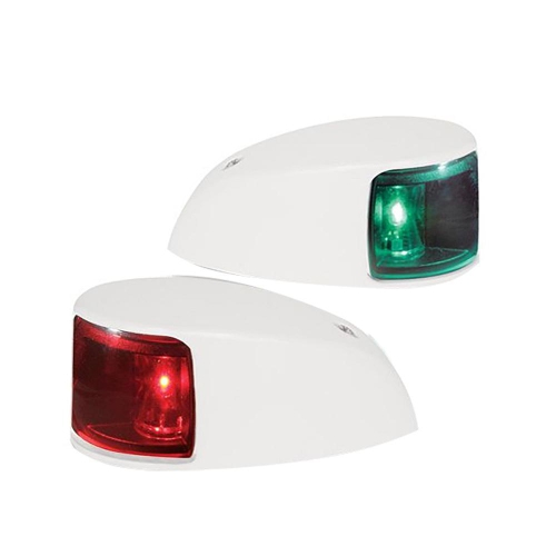
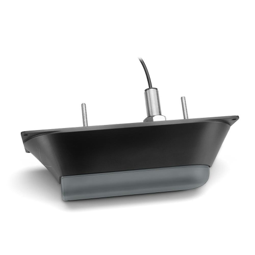
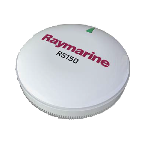



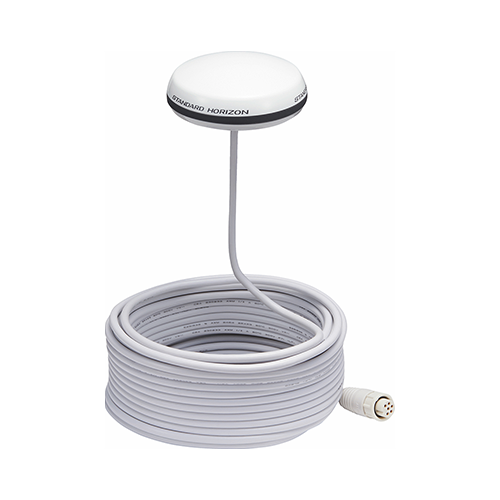
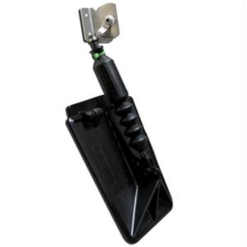
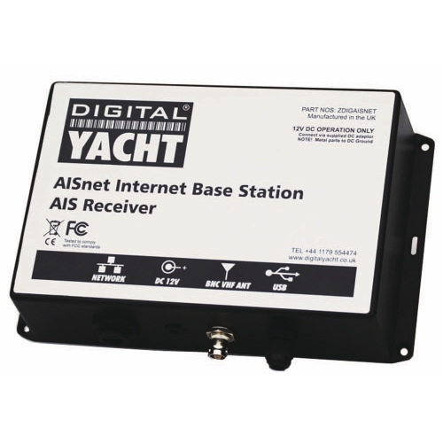
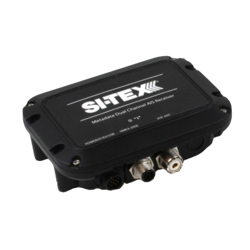


The tools that bring clarity to every route
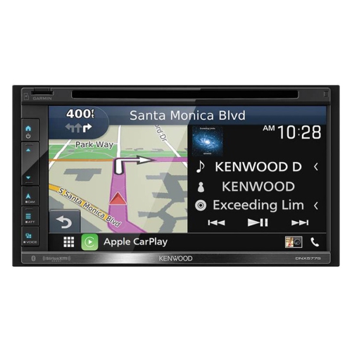
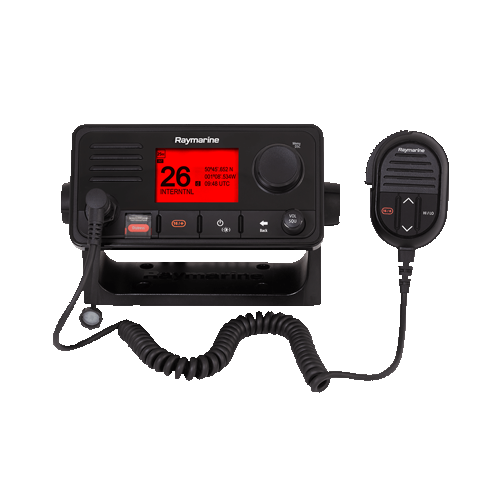
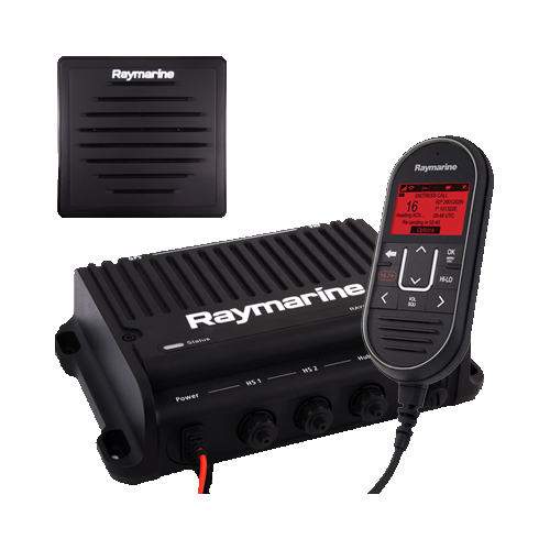
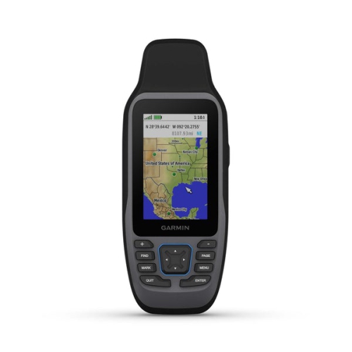
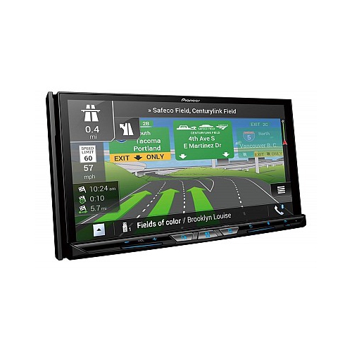
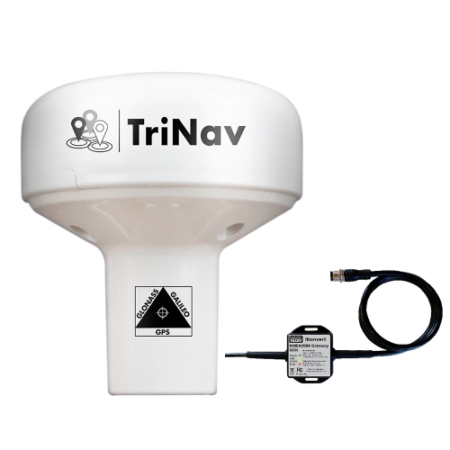
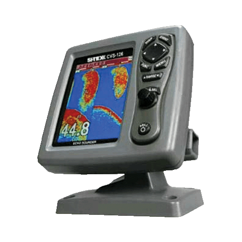
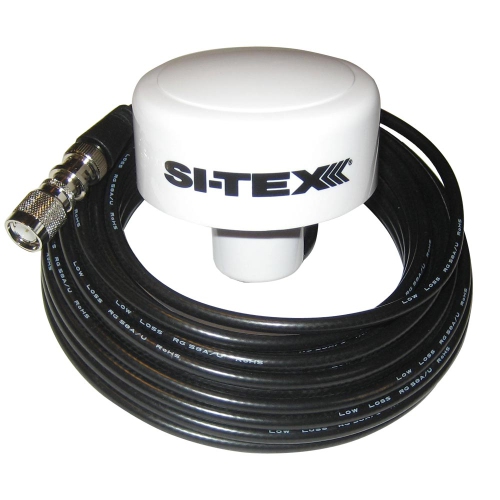
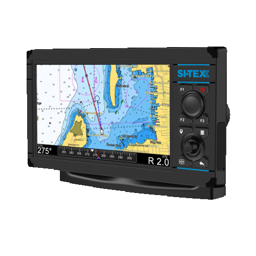
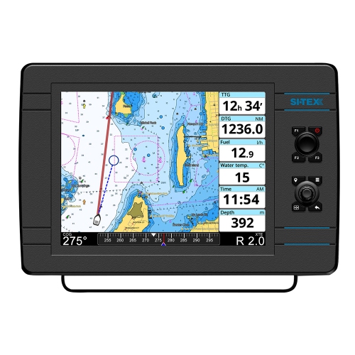
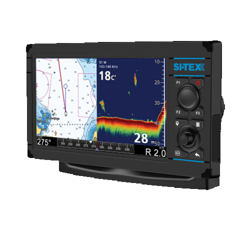
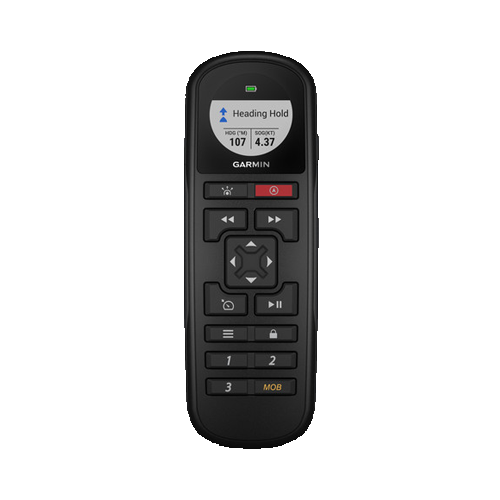
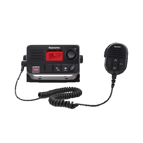
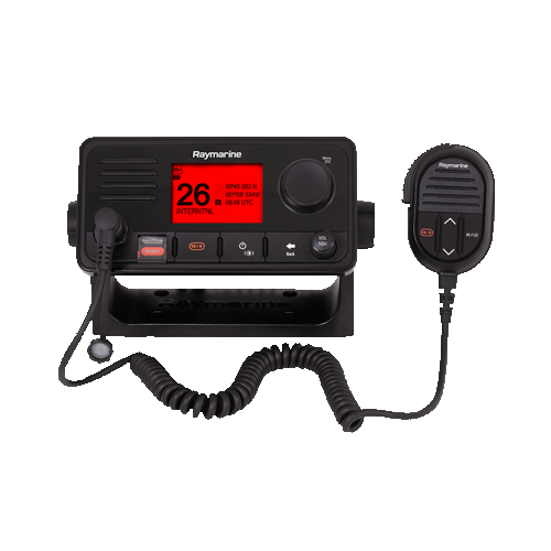
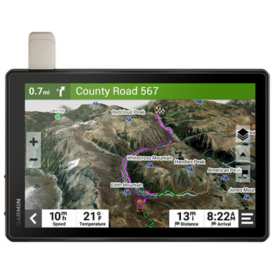
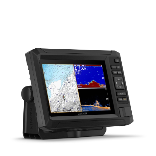
Boat navigation systems bring together the information a captain needs to understand where a vessel is, where it is heading, and what lies along the route. At the centre of many modern setups is a GPS receiver or chartplotter that uses satellite positioning to show the boat’s location on a digital marine chart. Unlike a basic GPS unit that displays coordinates, speed, and heading, a chartplotter places the vessel’s position over mapped waterways, helping users identify shorelines, channels, buoys, depth contours, marinas, rocks, wrecks, restricted areas, and other navigation markers. This visual reference can make a familiar harbour easier to enter and a new destination less intimidating, especially when landmarks look different from the water than they do from shore. Many boat navigation systems also support route planning, allowing users to create waypoints, estimate distance and travel time, and follow a planned course while keeping an eye on changing conditions. A multi-function display, often called an MFD, can combine chart data with engine information, depth readings, radar, AIS traffic data, an autopilot, and other onboard equipment on one screen. That integrated view is useful on everything from smaller fishing boats and runabouts to larger cruisers and sailboats. For a broader selection of electronic navigation equipment, explore Navigation Systems, while keeping in mind that marine navigation gear is designed specifically for the demands of life on the water.
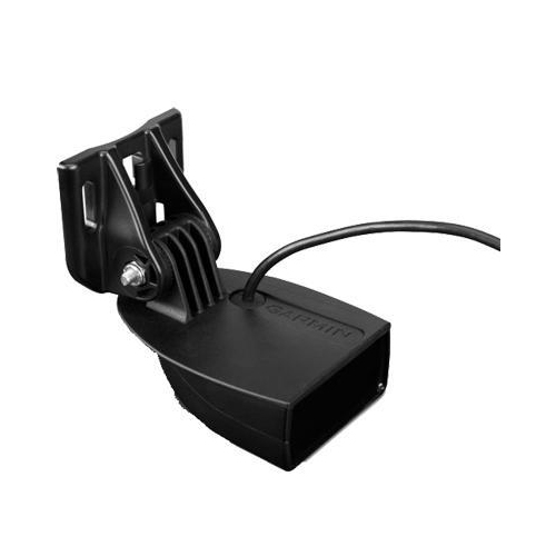
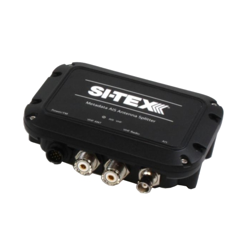
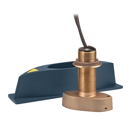
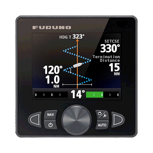
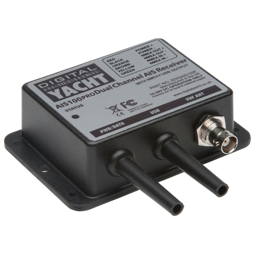
Choosing the right boat navigation system starts with the type of boating you do, the size of your vessel, and the information you want available at the helm. A compact GPS receiver may suit someone who mainly needs reliable position, speed, and heading information on familiar inland lakes. A chartplotter with detailed marine charts is a better fit for coastal cruising, extended trips, or anyone who regularly explores unfamiliar waterways. Screen size and readability matter: a bright, high-contrast display can be easier to read in direct sunlight, while a touchscreen may offer quick access to charts and menus but can be less convenient with wet hands or gloves. Physical buttons, rotary controls, or a combination of touch and traditional controls can make a meaningful difference when the boat is moving through chop. It is also worth checking whether charts cover the lakes, rivers, and coastal regions you use, and whether chart updates or expanded map coverage are available. Installation is another important consideration. Confirm the available mounting space, power requirements, transducer compatibility, and connection options before choosing a system. Sonar and transducers add depth information beneath the boat, with some technologies showing fish, structure, vegetation, and the shape of the bottom in greater detail. Radar can help identify vessels, shorelines, rain showers, and other objects when visibility is reduced by darkness, fog, spray, or a passing squall. AIS can display information from participating commercial and recreational vessels, including their position, course, and speed, although it does not replace a proper lookout. Autopilot integration can help maintain a programmed heading or route during longer passages, but it should be monitored closely and never treated as a substitute for attentive operation.
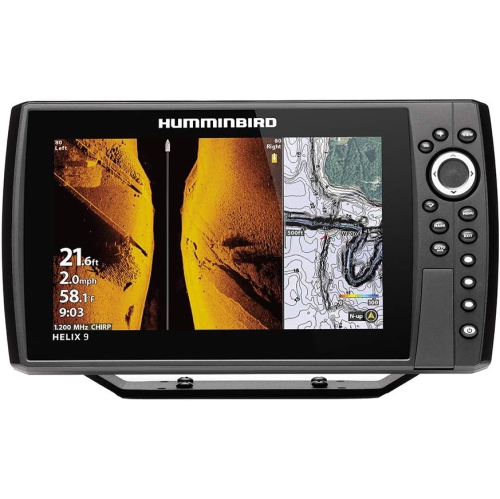
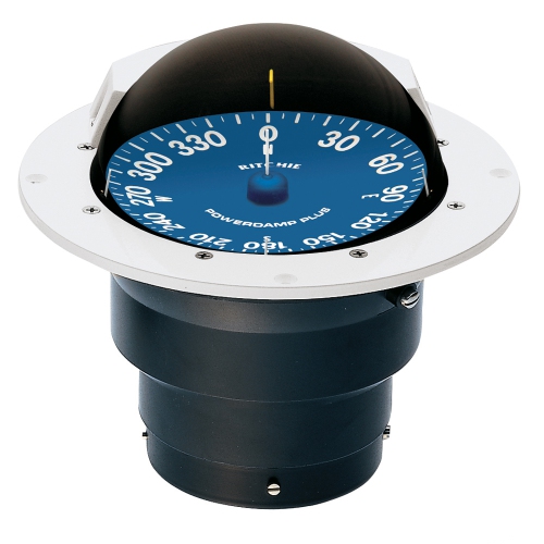
Boat navigation systems are useful for a wide range of people, including recreational boaters, anglers, sailors, guides, cottage owners, and families who spend warm-weather weekends on the water. A fishing enthusiast may appreciate a display that pairs navigation charts with sonar, making it easier to return to productive areas while staying aware of depth changes and underwater structure. A sailor may place greater value on wind data, heading accuracy, route planning, and connections to an autopilot or other sailing instruments. For a family cruiser, a straightforward interface, clear charts, dependable depth readings, and simple waypoint controls may be more valuable than a large number of advanced features. These systems can also make thoughtful gifts for someone preparing for a new boat, upgrading an older helm, or planning longer excursions during the warmer boating season. Before giving one as a gift, it helps to know the vessel’s make and model, the existing electronics, the console dimensions, and whether the recipient prefers a standalone unit or a connected system. During the cooler months, boat owners often have more time to review routes, organize equipment, plan installations, and learn new features before returning to the water. Regardless of the season, electronic charts should be treated as an aid rather than the only source of navigation information. Paper charts or other backup references, a working compass, local knowledge, weather awareness, and a properly maintained vessel remain important parts of responsible boating. A well-matched navigation system can reduce guesswork at the helm, support better route decisions, and bring useful clarity to everything from a quiet evening cruise to a longer trip along a changing shoreline.
Choosing the right boat navigation system starts with the type of boating you do, the size of your vessel, and the information you want available at the helm. A compact GPS receiver may suit someone who mainly needs reliable position, speed, and heading information on familiar inland lakes. A chartplotter with detailed marine charts is a better fit for coastal cruising, extended trips, or anyone who regularly explores unfamiliar waterways. Screen size and readability matter: a bright, high-contrast display can be easier to read in direct sunlight, while a touchscreen may offer quick access to charts and menus but can be less convenient with wet hands or gloves. Physical buttons, rotary controls, or a combination of touch and traditional controls can make a meaningful difference when the boat is moving through chop. It is also worth checking whether charts cover the lakes, rivers, and coastal regions you use, and whether chart updates or expanded map coverage are available. Installation is another important consideration. Confirm the available mounting space, power requirements, transducer compatibility, and connection options before choosing a system. Sonar and transducers add depth information beneath the boat, with some technologies showing fish, structure, vegetation, and the shape of the bottom in greater detail. Radar can help identify vessels, shorelines, rain showers, and other objects when visibility is reduced by darkness, fog, spray, or a passing squall. AIS can display information from participating commercial and recreational vessels, including their position, course, and speed, although it does not replace a proper lookout. Autopilot integration can help maintain a programmed heading or route during longer passages, but it should be monitored closely and never treated as a substitute for attentive operation.
Boat navigation systems are useful for a wide range of people, including recreational boaters, anglers, sailors, guides, cottage owners, and families who spend warm-weather weekends on the water. A fishing enthusiast may appreciate a display that pairs navigation charts with sonar, making it easier to return to productive areas while staying aware of depth changes and underwater structure. A sailor may place greater value on wind data, heading accuracy, route planning, and connections to an autopilot or other sailing instruments. For a family cruiser, a straightforward interface, clear charts, dependable depth readings, and simple waypoint controls may be more valuable than a large number of advanced features. These systems can also make thoughtful gifts for someone preparing for a new boat, upgrading an older helm, or planning longer excursions during the warmer boating season. Before giving one as a gift, it helps to know the vessel’s make and model, the existing electronics, the console dimensions, and whether the recipient prefers a standalone unit or a connected system. During the cooler months, boat owners often have more time to review routes, organize equipment, plan installations, and learn new features before returning to the water. Regardless of the season, electronic charts should be treated as an aid rather than the only source of navigation information. Paper charts or other backup references, a working compass, local knowledge, weather awareness, and a properly maintained vessel remain important parts of responsible boating. A well-matched navigation system can reduce guesswork at the helm, support better route decisions, and bring useful clarity to everything from a quiet evening cruise to a longer trip along a changing shoreline.
Top selling and popular products
-
 Your price for this item is $30.59
 -
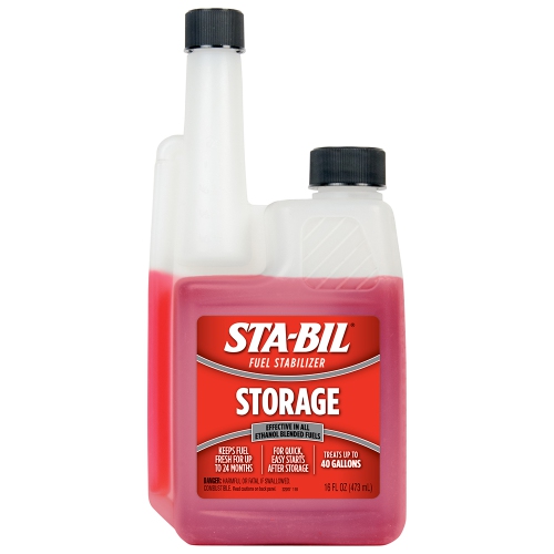 Your price for this item is $30.54
 -
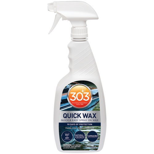 Your price for this item is $38.85
 -
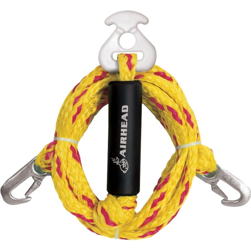 Your price for this item is $92.99
 -
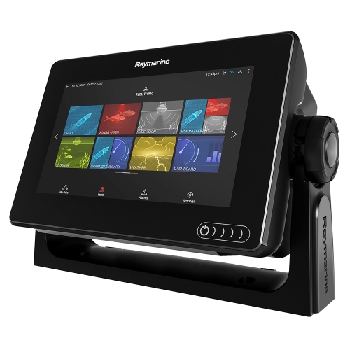 Your price for this item is $844.91
 -
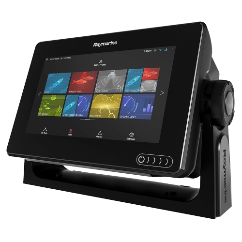 Your price for this item is $909.33
 -
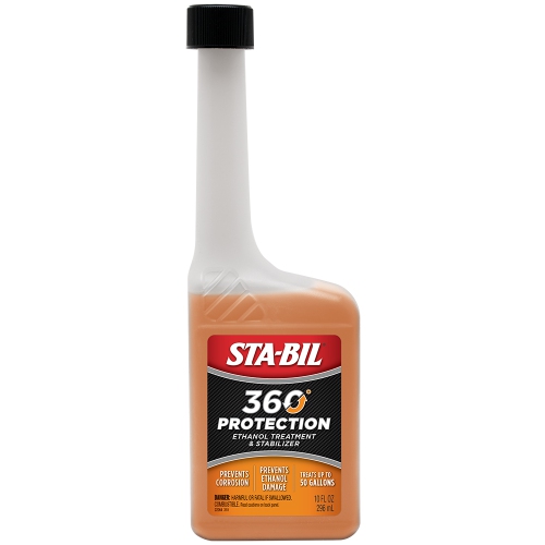 Your price for this item is $30.62
 -
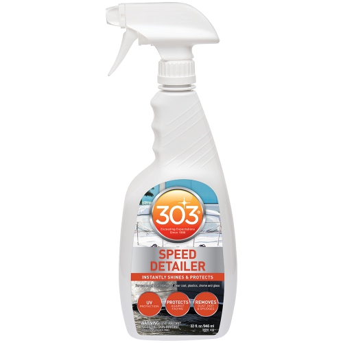 Your price for this item is $34.93
Discover more categories related to Boat Navigation Systems

Top Collections:
Pokemon Centers, Kindle Devices, Best Budget Office Chairs, Apple iPhones 16, Best Laptops for Writers, iPhone 15 Apple, Canon G7X Cameras, Refurbished Apple Laptops, Alarm Clock, Motorola Razr Phones
Some products may be subject to Environmental Handling Fees
(EHF) depending on your province.
Learn more about EHFs.