Surveillance Drones
Enhance your security measures with our selection of surveillance drones, designed to provide you with a bird's eye view of your surroundings. Whether you're monitoring your property for added peace of mind or conducting aerial inspections for professional purposes, these drones offer advanced features and high-quality cameras to capture clear footage from above. Stay one step ahead and explore our range of surveillance drones to take your security efforts to new heights.
Sort
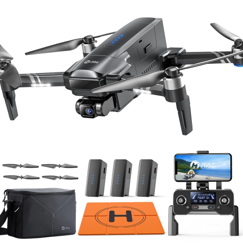
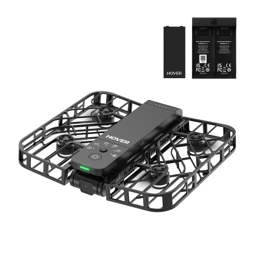
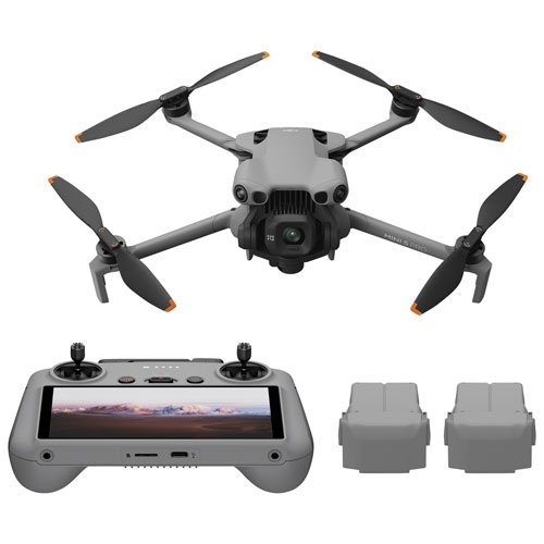
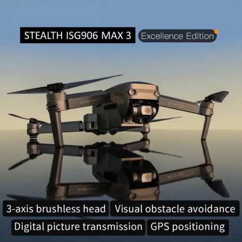
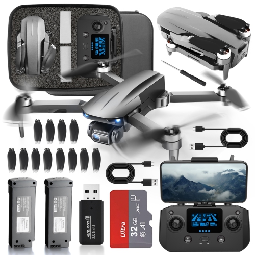
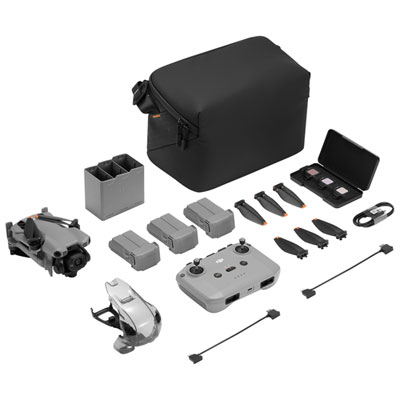
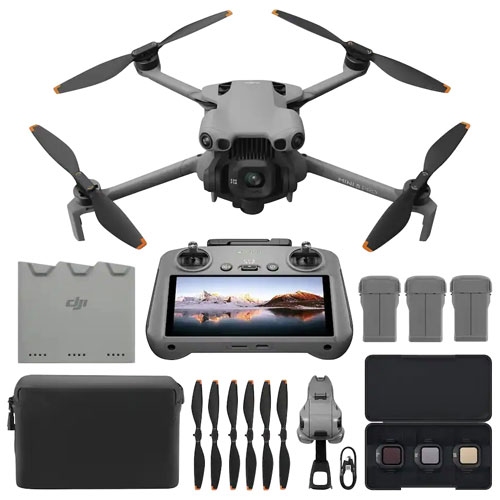
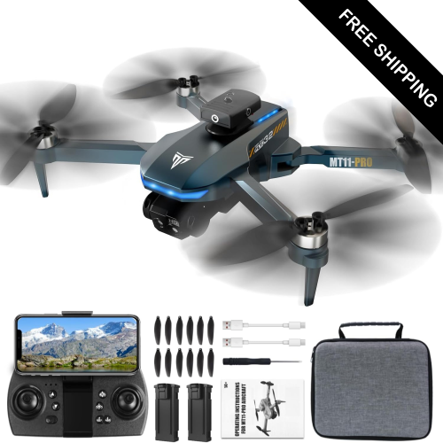

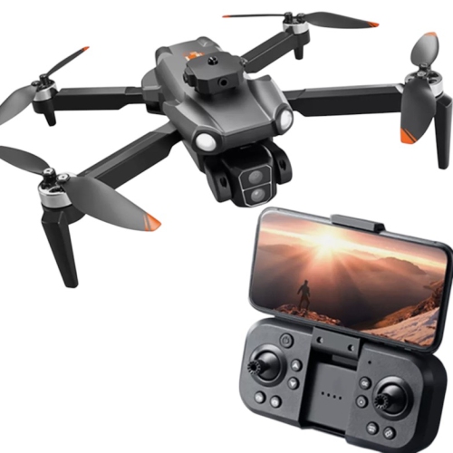
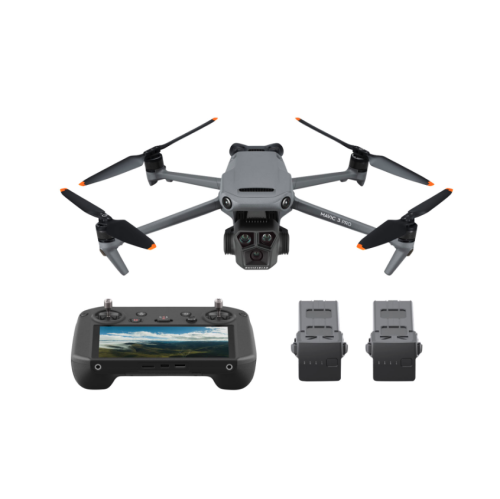
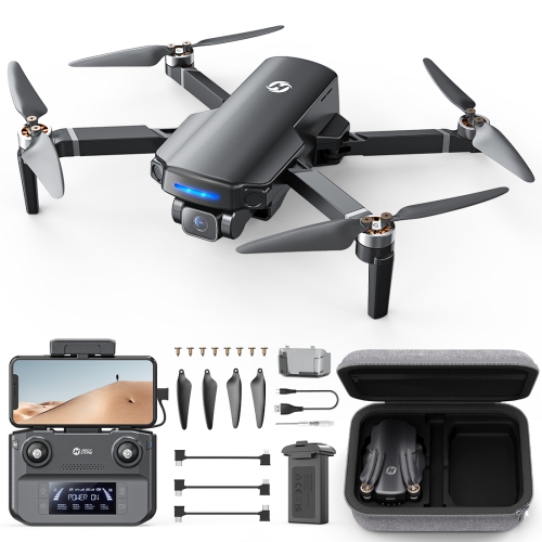
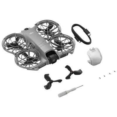
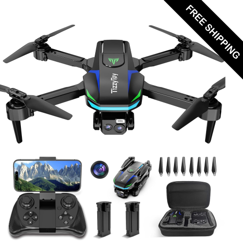
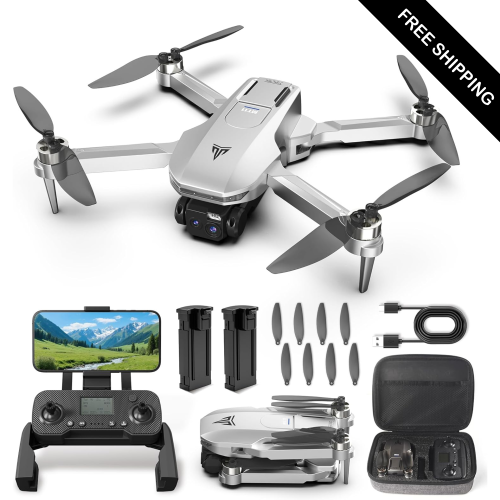
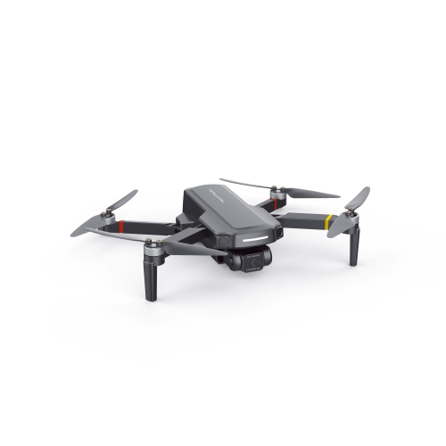
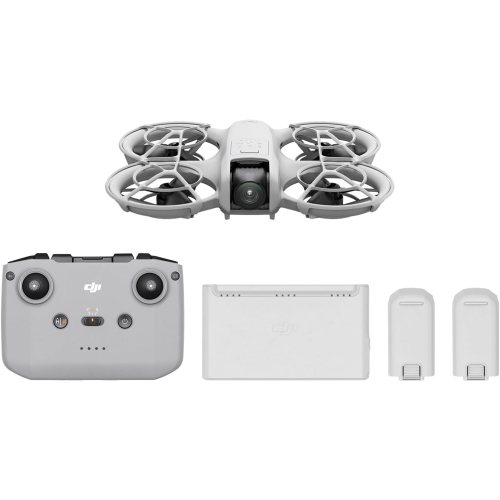
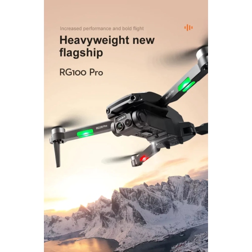
How aerial monitoring supports safer, more informed decisions
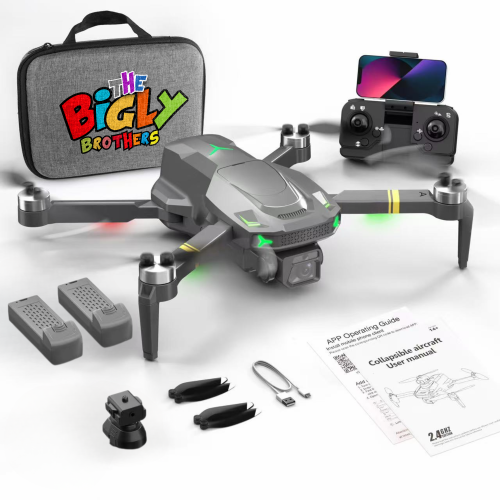
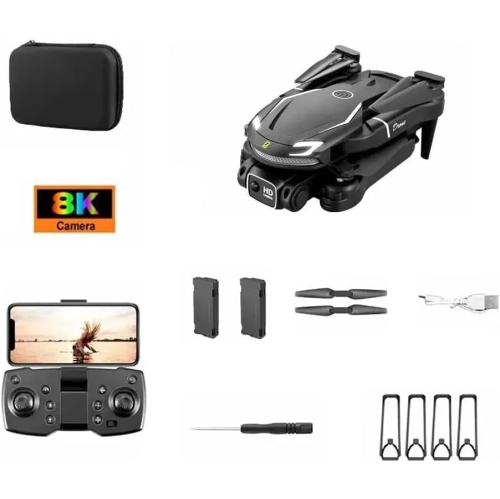
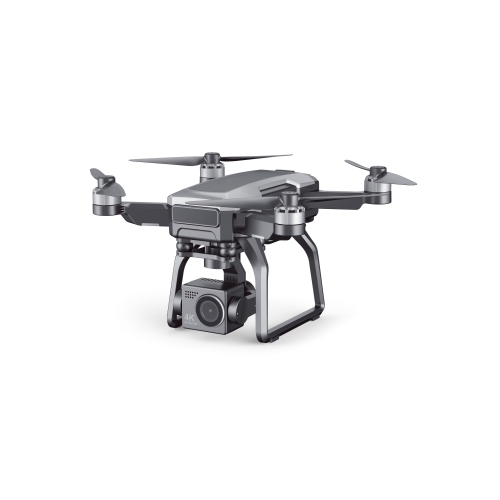
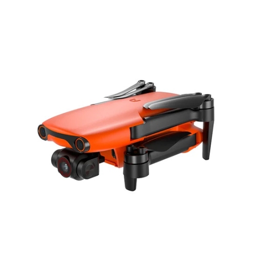
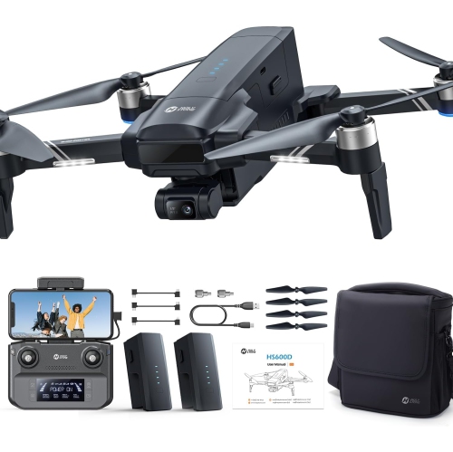
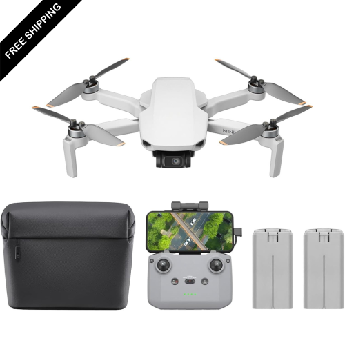
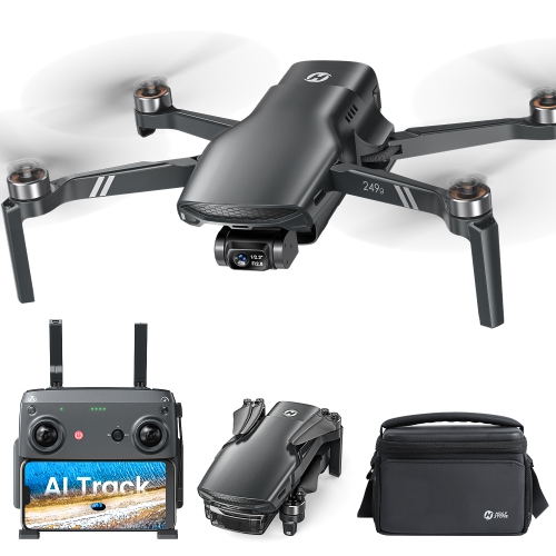
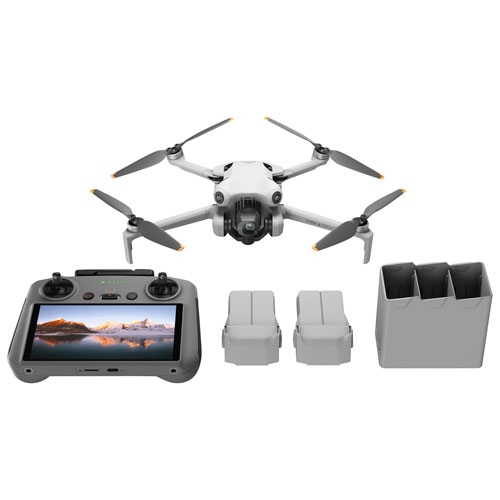
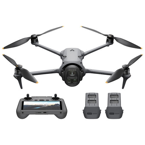
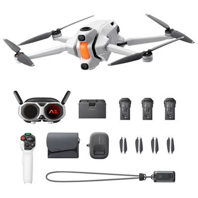
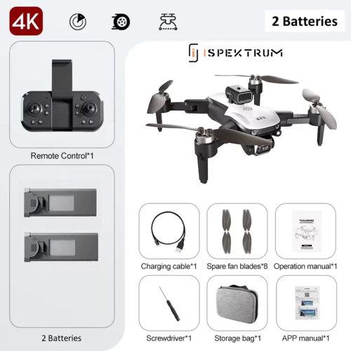
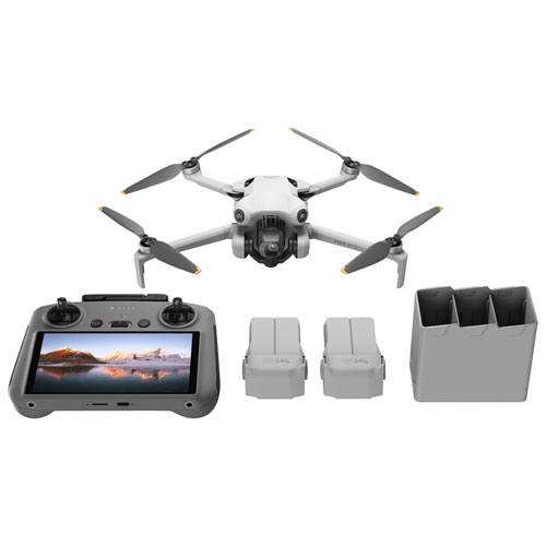
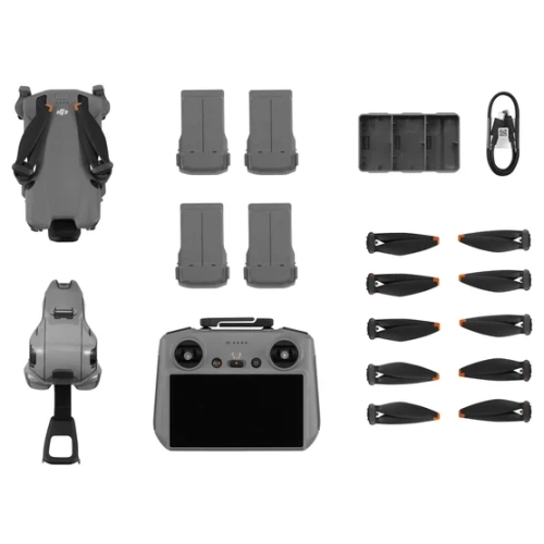
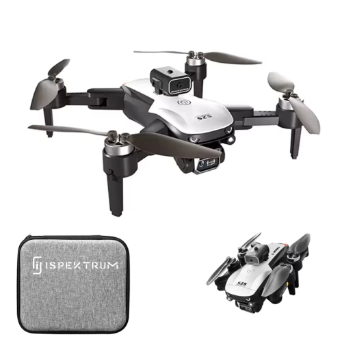
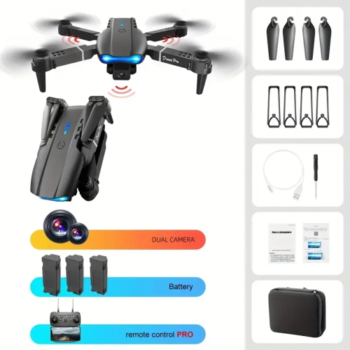
Surveillance drones are unmanned aerial vehicles (UAVs) equipped with cameras and sensors to observe wide areas from above, gather live information, and support safer, more efficient decision-making. Unlike fixed security cameras, an aerial platform can move beyond walls, fences, trees, uneven ground, and other obstacles to provide a changing view of a property or event. This makes surveillance drones useful for commercial site security, public safety, construction monitoring, agriculture, infrastructure inspection, emergency response, and large-area observation. A high-definition optical camera can capture detailed colour footage in daylight, while infrared and thermal imaging can help identify heat sources, people, vehicles, or equipment in low-light and nighttime conditions. Some systems combine multiple cameras and sensors so operators can switch between a broad overview and a closer inspection without moving the aircraft. Aerial footage may help security teams check a perimeter, help emergency responders search difficult terrain, or help site managers monitor remote areas without sending staff into potentially hazardous conditions. Multi-rotor designs are often selected for their ability to hover, turn in place, and operate in confined spaces, while tethered systems can provide extended flight time for observation over a fixed area. Automated dock stations, sometimes called “drone-in-a-box” systems, can support scheduled takeoffs, charging, data transfer, and repeated patrols with less manual handling. For recreational users interested in learning about aerial photography and flight, Personal Drones may be a more suitable category, while surveillance-focused equipment is generally chosen for its camera performance, operating range, endurance, and integration with security procedures.
When comparing surveillance drones, start with the area that needs to be observed and the type of information the aircraft must capture. A small property may benefit from a compact, manoeuvrable platform with a sharp optical camera, whereas a large industrial site may require longer flight endurance, reliable transmission over distance, and a system that can return to a charging station between patrols. Resolution matters, but it is only one part of image quality. Look for practical details such as low-light performance, optical zoom, image stabilisation, field of view, and the ability to record useful footage while the drone is moving. Thermal imaging can add important context during darkness, fog, smoke, or search-and-rescue operations, but thermal cameras show heat rather than ordinary colour detail, so they are typically most effective when paired with a conventional camera. Flight time, weather resistance, wind performance, obstacle sensing, navigation accuracy, and return-to-home functions can all affect day-to-day reliability. Systems with GPS-assisted flight and geofencing may help reduce navigation errors, while computer vision and artificial intelligence features may assist with object detection, automated tracking, route planning, or alerts. These tools should support trained operators rather than replace sound judgement; changing weather, reflective surfaces, moving shadows, birds, and other conditions can affect automated detection. Data handling is equally important. Before choosing a system, consider where live video is streamed, how recordings are stored, who can access them, whether footage is encrypted, and how long it should be retained. Secure accounts, strong passwords, access controls, software updates, and clear procedures for sharing footage can help protect sensitive information from unauthorised viewing.
Surveillance drones may be used by private security teams, facility managers, utilities, farms, search-and-rescue organisations, event coordinators, inspectors, and public agencies, with each group requiring a different balance of mobility, coverage, privacy controls, and operating simplicity. A property manager might use scheduled aerial checks to review a broad perimeter after an alarm, while a construction supervisor could document progress or inspect elevated structures without placing a worker immediately in the inspection area. Emergency personnel may use an overhead view to understand traffic movement, locate a missing person, assess flood conditions, or identify hazards before entering a scene. Wildlife and environmental researchers may also use aerial observation to study remote areas while limiting the need for ground access. Even with capable hardware, successful operation depends on planning and training. Operators should understand battery management, wind and visibility limits, emergency landing procedures, safe takeoff and landing areas, and the effect of payloads on flight performance. In Canada, drone operations must follow Transport Canada rules, including applicable pilot certification, registration, airspace requirements, flight restrictions, and safety obligations. Local rules may also apply around airports, parks, private property, public gatherings, and restricted areas. Privacy legislation and consent expectations are important whenever cameras may capture identifiable people, homes, workplaces, or neighbouring properties. A responsible setup uses clearly defined flight paths, limits recording to a legitimate purpose, avoids unnecessary collection, and communicates how footage is handled. During the warmer and cooler parts of the year alike, changing wind, rain, snow, glare, and reduced daylight can influence performance, so checking the operating specifications and planning around local conditions helps keep aerial monitoring dependable.
When comparing surveillance drones, start with the area that needs to be observed and the type of information the aircraft must capture. A small property may benefit from a compact, manoeuvrable platform with a sharp optical camera, whereas a large industrial site may require longer flight endurance, reliable transmission over distance, and a system that can return to a charging station between patrols. Resolution matters, but it is only one part of image quality. Look for practical details such as low-light performance, optical zoom, image stabilisation, field of view, and the ability to record useful footage while the drone is moving. Thermal imaging can add important context during darkness, fog, smoke, or search-and-rescue operations, but thermal cameras show heat rather than ordinary colour detail, so they are typically most effective when paired with a conventional camera. Flight time, weather resistance, wind performance, obstacle sensing, navigation accuracy, and return-to-home functions can all affect day-to-day reliability. Systems with GPS-assisted flight and geofencing may help reduce navigation errors, while computer vision and artificial intelligence features may assist with object detection, automated tracking, route planning, or alerts. These tools should support trained operators rather than replace sound judgement; changing weather, reflective surfaces, moving shadows, birds, and other conditions can affect automated detection. Data handling is equally important. Before choosing a system, consider where live video is streamed, how recordings are stored, who can access them, whether footage is encrypted, and how long it should be retained. Secure accounts, strong passwords, access controls, software updates, and clear procedures for sharing footage can help protect sensitive information from unauthorised viewing.
Surveillance drones may be used by private security teams, facility managers, utilities, farms, search-and-rescue organisations, event coordinators, inspectors, and public agencies, with each group requiring a different balance of mobility, coverage, privacy controls, and operating simplicity. A property manager might use scheduled aerial checks to review a broad perimeter after an alarm, while a construction supervisor could document progress or inspect elevated structures without placing a worker immediately in the inspection area. Emergency personnel may use an overhead view to understand traffic movement, locate a missing person, assess flood conditions, or identify hazards before entering a scene. Wildlife and environmental researchers may also use aerial observation to study remote areas while limiting the need for ground access. Even with capable hardware, successful operation depends on planning and training. Operators should understand battery management, wind and visibility limits, emergency landing procedures, safe takeoff and landing areas, and the effect of payloads on flight performance. In Canada, drone operations must follow Transport Canada rules, including applicable pilot certification, registration, airspace requirements, flight restrictions, and safety obligations. Local rules may also apply around airports, parks, private property, public gatherings, and restricted areas. Privacy legislation and consent expectations are important whenever cameras may capture identifiable people, homes, workplaces, or neighbouring properties. A responsible setup uses clearly defined flight paths, limits recording to a legitimate purpose, avoids unnecessary collection, and communicates how footage is handled. During the warmer and cooler parts of the year alike, changing wind, rain, snow, glare, and reduced daylight can influence performance, so checking the operating specifications and planning around local conditions helps keep aerial monitoring dependable.
Top selling and popular products
-
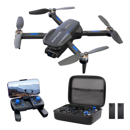 Your price for this item is $109.98
 -
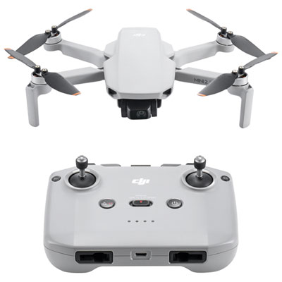 Your price for this item is $359.99
 -
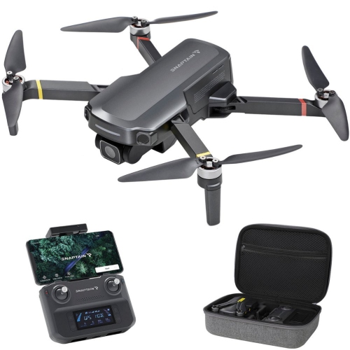 Your price for this item is $279.9
 -
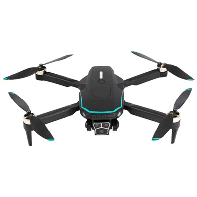 Your price for this item is $99.99
 -
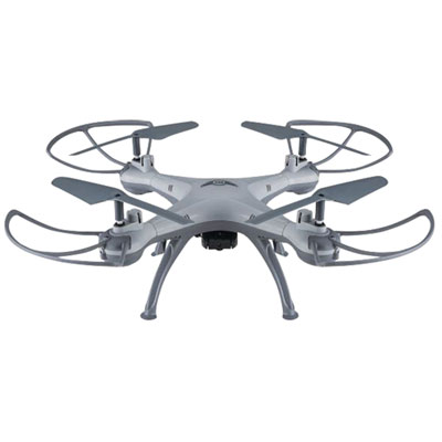 Your price for this item is $64.99
 -
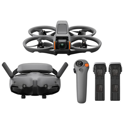 Your price for this item is $1279.99
 -
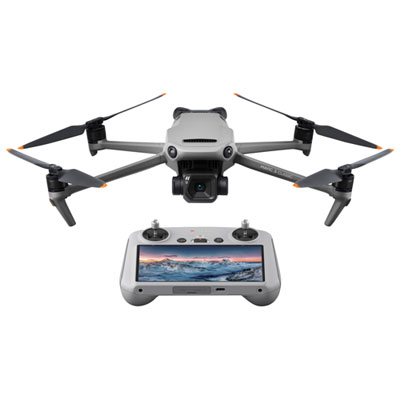 Your price for this item is $1759.99
 -
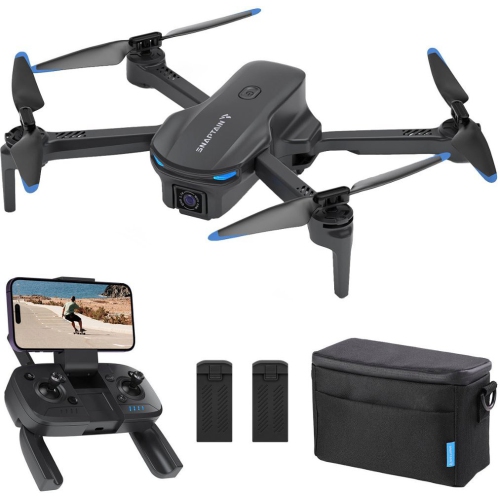 Your price for this item is $189.9
Discover more categories related to Surveillance Drones
Top Collections:
Pokemon Centers, Best Cameras for Sports Photography, Kindle Devices, Samsung Galaxy Phones, Canon G7X Cameras, Pokémon 30th Celebration Cards, Refurbished Apple Laptops, iPhone 15 Apple, Laptops for Students, Budget Smartphones
Some products may be subject to Environmental Handling Fees
(EHF) depending on your province.
Learn more about EHFs.